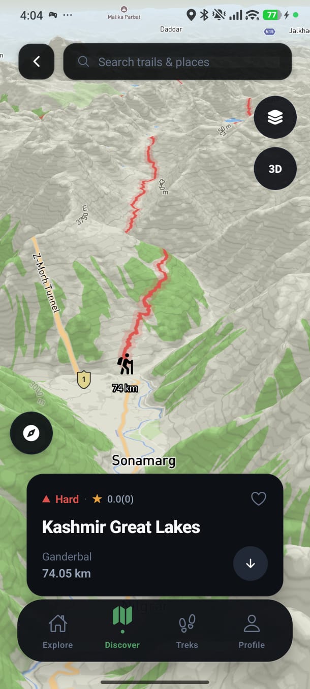
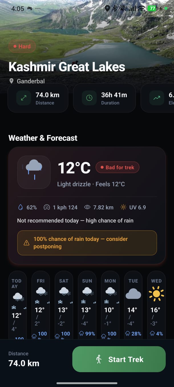
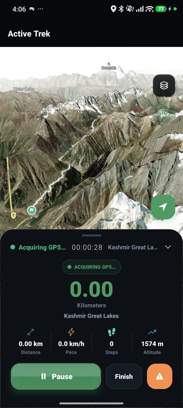
Real App Screenshots
See PydhalChalo in Action
Every screen crafted for trekkers — explore trails, navigate routes, track your journey
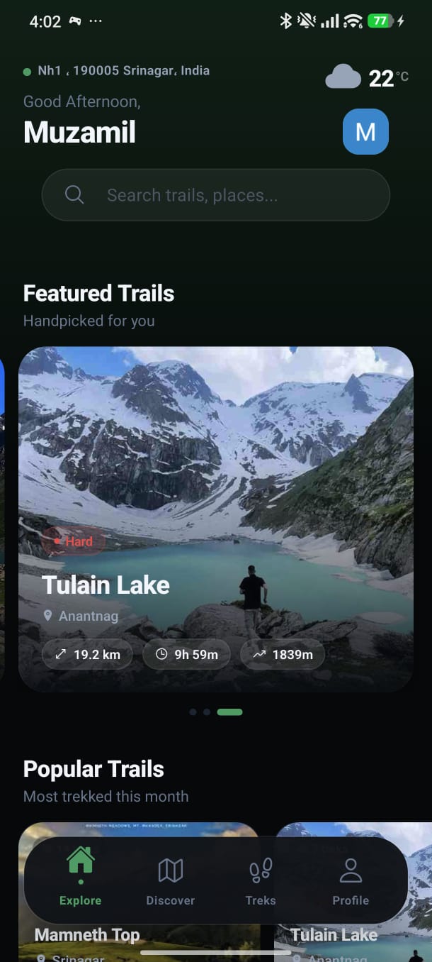
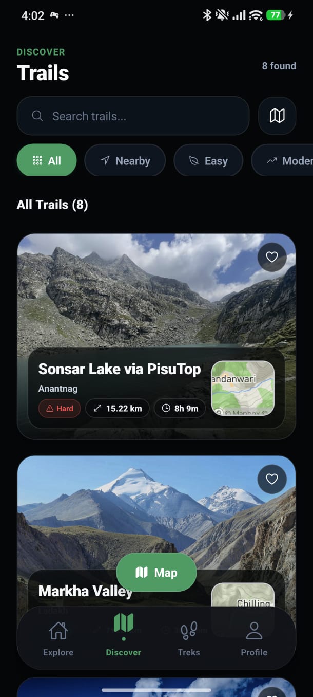
Discover 100+ verified trails, campsites, viewpoints and waterfalls across all 22 districts of Jammu & Kashmir. Your ultimate trekking companion.
Every screen crafted for trekkers — explore trails, navigate routes, track your journey
100+
Verified Trails
500+
Places of Interest
22
Districts Covered
10K+
Happy Trekkers
Built for trekkers, by trekkers — from trail navigation to emergency alerts, we've got you covered.
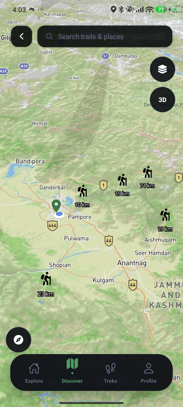
Interactive trail maps with waypoints, elevation profiles and difficulty ratings for every trek in J&K.
Discover viewpoints, campsites, waterfalls, passes and villages near your location in real time.
One-tap emergency SOS with real-time GPS location sharing to your contacts and rescue services.
Download complete maps and trail data for offline access — essential in remote high-altitude areas.
Expert-curated guides with seasonal tips, gear recommendations, permit info and local insights.
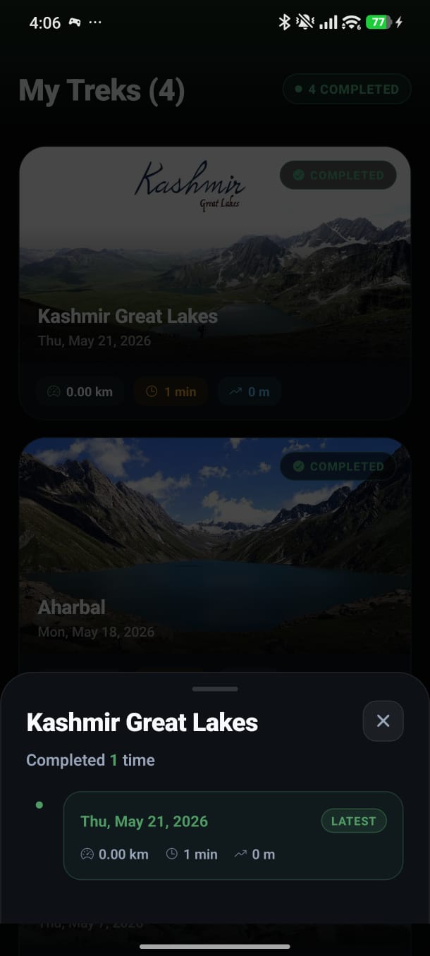
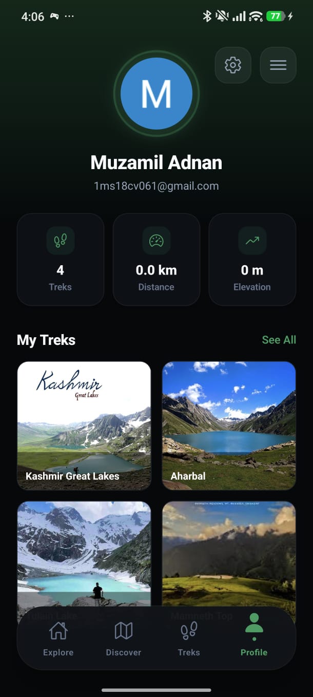
Connect with fellow trekkers, share trip reports, photos and find trek partners across J&K.
PydhalChalo — meaning “let's walk” — was born from a deep love for the breathtaking landscapes of Jammu & Kashmir. We believe the region's trails deserve to be discovered safely and sustainably by everyone.
From the saffron fields of Kashmir Valley to the stark passes of Ladakh, our app provides verified trail data, local guides, and emergency safety features so every trekker can explore with confidence.
100+
Verified Trails
22
Districts Covered
500+
Places of Interest
10K+
Happy Trekkers
Trail suggestion, feedback or just want to say hello? We'd love to hear from you.